
Two things Randolph County homeowners ask first
Does Randolph County issue a grading permit?
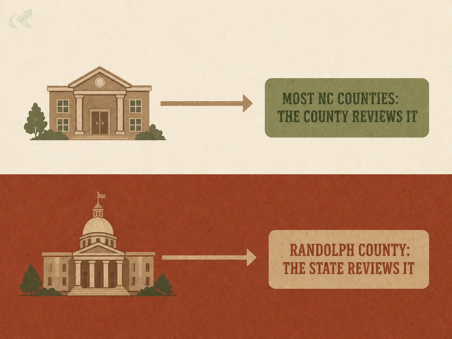
Not the way most NC counties do. Randolph applies the statewide trigger -- an acre or more of land disturbance -- but the Soil Erosion and Sedimentation Control Plan itself is reviewed and approved by the State, not a county erosion office. Randolph's own role is narrower: it won't issue a building permit until that State approval is on file, per NCGS 160A-417. Zoning, building, well, and septic permits still route through the county's own Central Permitting Office.
What actually makes Randolph County different from its Triad neighbours?
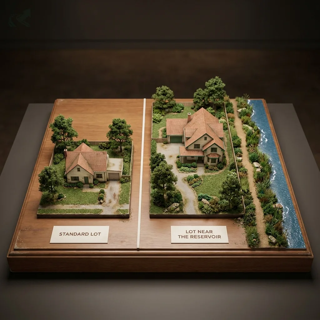
Minimum lot size, not a grading-permit trigger. Almost the entire northern half of the county drains to one of nine watersheds -- Randleman Lake foremost among them -- and Randolph enforces that through subdivision rules: 40,000 sq ft minimum lot in a Watershed Area, 80,000 sq ft within a half mile of a reservoir shoreline (a Water Critical Area). That restriction hits at the platting stage, before anyone has filed for a grading permit at all.
Most counties in this directory earn their page on a permit trigger — a number, or a tier, that decides whether a grading job needs a permit. Randolph doesn’t quite work that way.
Ask Randolph County who reviews a Soil Erosion and Sedimentation Control Plan, and the answer isn’t a county office. It’s the State of North Carolina. Randolph’s own published guidance says so plainly: plans for any land disturbance over one acre go to the state agency, and the county’s part is limited to checking that the state has approved before it will issue a building permit.
That’s the surprise on this page. The bigger story, though, is what Randolph does control directly — and it isn’t a permit. It’s how small you’re allowed to subdivide near the reservoirs that cover almost half the county, Randleman Lake foremost among them.
This page covers who actually reviews an erosion plan here, the lot-size rule near the lake, and the county resources worth bookmarking.
The one-acre trigger, reviewed somewhere else
Randolph applies the same statewide acre as everywhere in North Carolina. Who reviews the plan is the local difference.
| A Soil Erosion Control Plan in Randolph County | What happens | Who's involved |
|---|---|---|
| Trigger | More than 1 acre of land disturbance -- the statewide default | The NC Sedimentation Pollution Control Act, applied the same way it is everywhere |
| Plan review and approval | Submitted by the developer directly to the State | The NC Division of Land Resources -- not a county erosion office |
| The county's role | Confirms State approval is on file before a building permit is issued (NCGS 160A-417) | Randolph County Central Permitting Office, 204 East Academy Street, Asheboro |
Trigger
- What happens
- More than 1 acre of land disturbance -- the statewide default
- Who's involved
- The NC Sedimentation Pollution Control Act, applied the same way it is everywhere
Plan review and approval
- What happens
- Submitted by the developer directly to the State
- Who's involved
- The NC Division of Land Resources -- not a county erosion office
The county's role
- What happens
- Confirms State approval is on file before a building permit is issued (NCGS 160A-417)
- Who's involved
- Randolph County Central Permitting Office, 204 East Academy Street, Asheboro
Most of the counties this directory has covered so far — Guilford, Johnston, Wake — run their own delegated erosion control program with a county office that reviews the plan. Randolph’s own Citizen’s Guide to Land Development describes something different: the developer files the Soil Erosion and Sedimentation Control Plan with the State, and it’s the State that approves it before any land disturbance over an acre can begin. Randolph’s part is downstream of that — the county “routinely notifies the appropriate State agency when development is occurring,” and won’t sign off on a building permit until the State’s approval is confirmed.
Practically, this changes who you call. If you’re used to another Triad county’s erosion office fielding plan questions, that’s not the number to have in Randolph. The Central Permitting Office at 204 East Academy Street in Asheboro is still the right first stop for zoning, building, well, and septic permits — it’s the erosion plan review specifically that sits with the State.
Randleman Lake and the lot-size rule
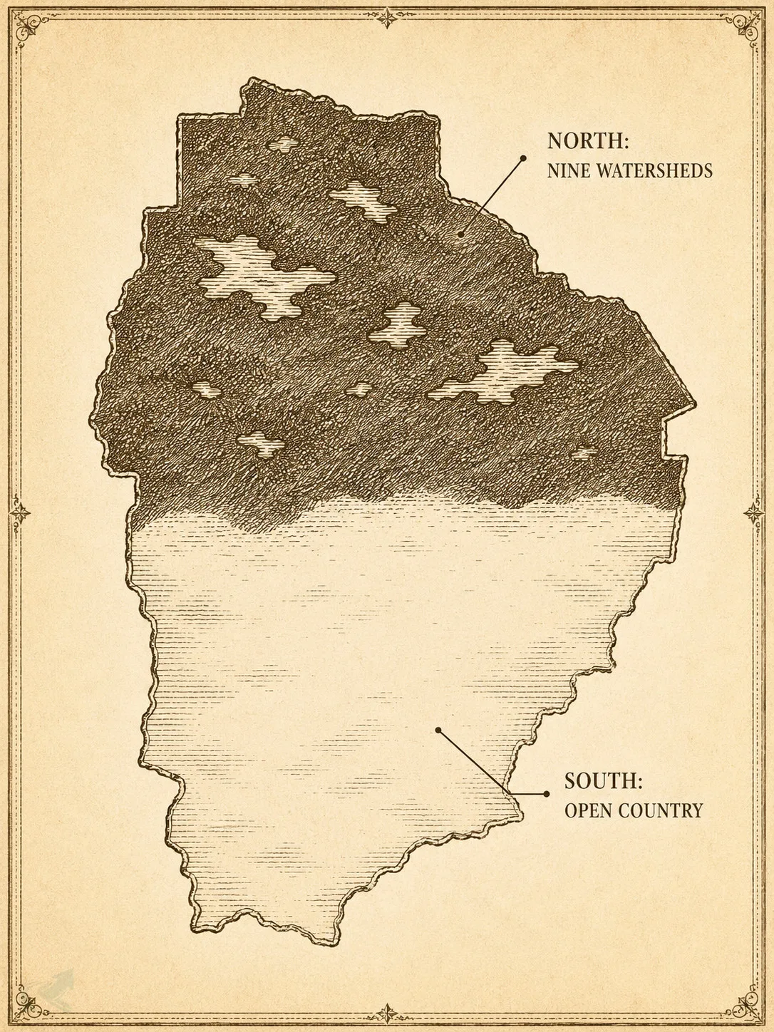
Almost the entire northern half of Randolph County drains to a watershed. Randleman Lake is the one that matters most.
Randolph County’s own land development guidance names nine watersheds covering most of the county’s northern half: Randleman Lake, Lake Reese, Sandy Creek, Rocky River, Lake Lucas, Bunch Lake, Polecat Creek, Badin Lake, and Bear Creek. Randleman Lake — the reservoir the Triad’s Guilford County page already covers as a Class-IV water-supply watershed — sits physically inside Randolph, and the dam that impounds it is here too.
Guilford’s page tells the permit-trigger half of that story: inside a Watershed Critical Area tier, a grading permit is required regardless of project size. Randolph’s version of the same protection works differently. It’s a minimum lot size, set at the county level and confirmed against the state’s own Randleman Lake watershed rule:
| Minimum lot size near Randolph's watersheds | Where | Minimum lot size |
|---|---|---|
| Watershed Area | Inside one of the county's nine mapped watersheds | 40,000 sq ft minimum lot |
| Water Critical Area (within 1/2 mile of a reservoir shoreline) | The tightest zone -- closest to the water itself | 80,000 sq ft minimum lot (about 1.8 acres) |
Watershed Area
- Where
- Inside one of the county's nine mapped watersheds
- Minimum lot size
- 40,000 sq ft minimum lot
Water Critical Area (within 1/2 mile of a reservoir shoreline)
- Where
- The tightest zone -- closest to the water itself
- Minimum lot size
- 80,000 sq ft minimum lot (about 1.8 acres)
Those same two figures — 40,000 and 80,000 square feet — match the state’s own density table for the lower Randleman Lake watershed (the stretch of the Deep River immediately above the dam, which is the part of the watershed Randolph sits in): a “Protected Area” gets the 40,000 sq ft floor, and the tighter “Critical Area” nearest the reservoir gets 80,000 sq ft. Randolph’s county guidance and the state rule agree on the number, which is a useful cross-check.
Why this matters before you ever think about grading. A permit trigger stops you at the excavator. A minimum-lot-size rule stops you earlier, at the platting stage — you may not be able to create the small lot you wanted near the shoreline in the first place, regardless of what you’d eventually build on it. That’s the practical difference between how Guilford protects this same lake and how Randolph does.
Impervious surface is regulated on top of the lot-size floor — for anything other than a single-family home, the allowed coverage inside a watershed area is a question for the County Planning Department, not a fixed number this page can safely state.
Two more rules worth knowing
Flood setback. On a stream without a designated floodway, Randolph requires a setback of two times the stream width, or twenty feet — whichever is greater. Development inside a Class A flood hazard boundary needs a Flood Development Permit from the County Flood Administrator before construction starts, and structures must be elevated or floodproofed two feet above the base flood elevation.
The licence threshold is the statewide one. Any contractor on a Randolph County project of $40,000 or more must hold an active NCLBGC licence — no county-specific variation here.
Every Randolph County resource you’ll need
- NC 811 — call before you dig. Free and legally required: notify utility owners at least two business days before breaking ground. Call 811 or 1-800-632-4949.
- Central Permitting Office. 204 East Academy Street, Asheboro — zoning, building, electrical, plumbing, well, and septic permits, plus specialized zoning permits (flood, special use).
- County Planning Department. The right contact for watershed classification, impervious-surface limits beyond a single-family home, and minimum-lot-size questions before you plat.
- Check a contractor’s licence. How to check an NC contractor licence — required above $40,000.
- Compare counties. NC grading permits by county.
- Regional context. Earthwork in the Triad covers the region’s red clay and reservoir watersheds together. For the permit-trigger version of the Randleman Lake story, see the Guilford County page.
- Hiring in Asheboro. Hiring a grading contractor in Asheboro covers the vetting question this page’s state-review structure turns into a hiring test.
- Who actually works here. Our licensed contractors serving Asheboro each link to their own NCLBGC record, so you can check the licence yourself rather than take our word for it.
What this means for your project
If your Randolph County lot sits south of the watershed line with no stream or reservoir nearby, the statewide rule is straightforward: an acre of disturbance triggers a plan, and that plan goes to the State rather than a county office.
If your lot is anywhere in the northern half of the county — inside one of the nine mapped watersheds, and especially within a half mile of a reservoir shoreline — the question that matters most isn’t your project’s size. It’s whether the lot itself was ever legally big enough to build what you have in mind. That’s worth confirming with the County Planning Department before a grading conversation even starts.
We’re a directory, not a permit office — we can’t file, expedite, or influence anything. What this page can do is send you to the right counter with the right question already in hand. When you’re ready to price the work, the Asheboro contractor list covers the operators we’ve verified in this county.
Verified contractors in Randolph County
Every licence number below links to that contractor’s own record on the NC Licensing Board — we don’t ask you to take our word for it.
From our directory
Verified contractors across Randolph County
Every listing is cross-checked against the NC Licensing Board public record before it appears. Pick your city:
Or browse the full NC contractor directory.