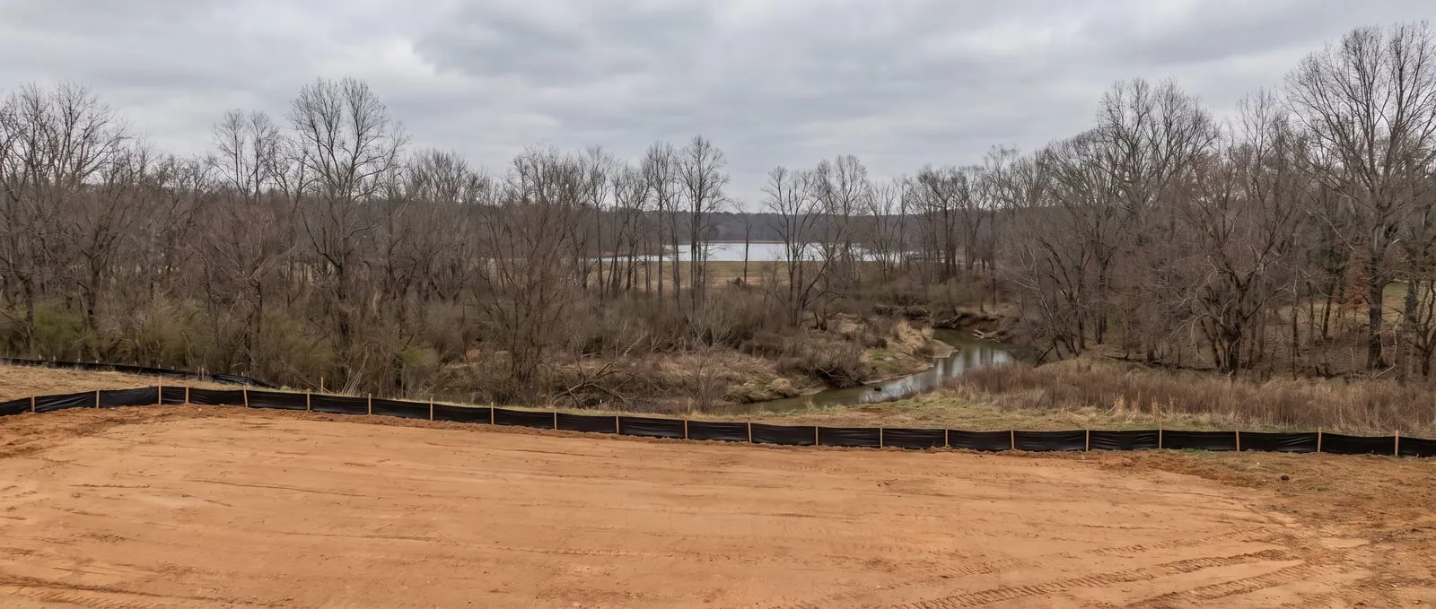
Most of North Carolina regulates grading by the acre. The Triad regulates it by the watershed.
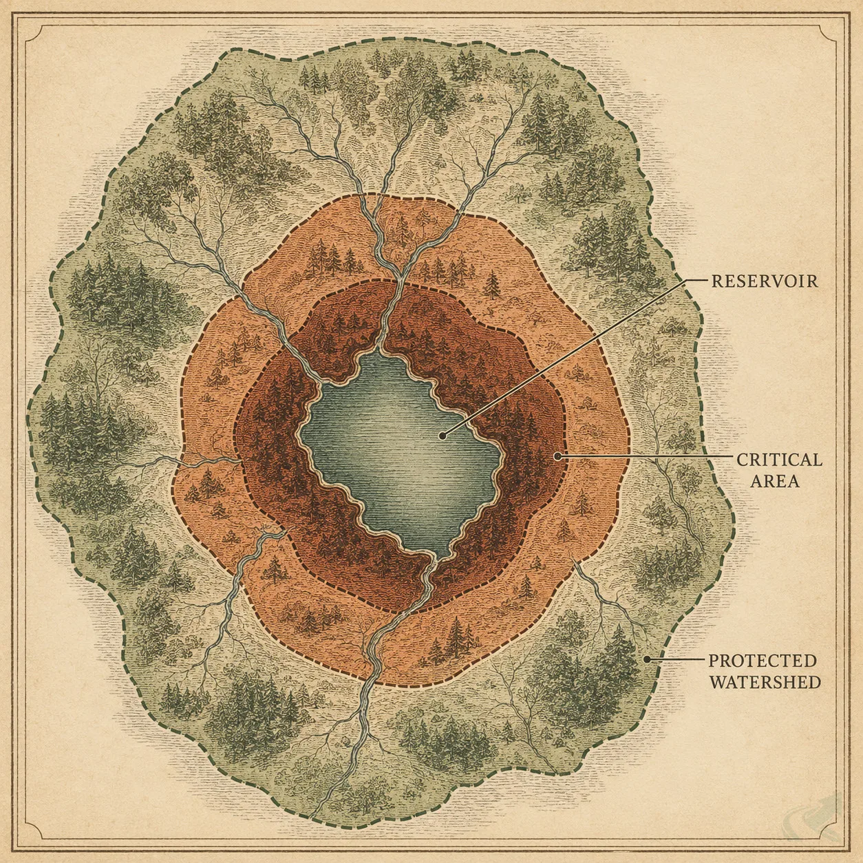
That’s the difference that catches people here. A half-acre back-yard regrade outside Greensboro looks exempt under the statewide one-acre rule — until you find out the lot sits in Tier 2 of a Watershed Critical Area, where Guilford County requires a grading permit regardless of size. The reason is straightforward once you see it: the Triad drinks from its own reservoirs, and Randleman Lake is a Class-IV critical water supply watershed. The rules follow the water.
Underneath that sits the same Piedmont red clay as the rest of the region — dense, slow-draining, and unforgiving of drainage plans designed for other soils.
This page is the map. Below: what red clay does here, how the watershed rules actually work, and every Triad guide we’ve published, sorted by the problem you’re trying to solve.
What’s actually different in the Triad
Same red clay as the Triangle and Charlotte. Different regulatory logic — this one follows drinking water.
The soil is slow-draining Piedmont clay. Greensboro, Winston-Salem, and High Point sit on the same dense red clay found across the Piedmont. Water pools rather than percolating; a hole fills and stays full. Our red clay guide covers the soil science, and the NC clay French drain methodology covers what changes about an install because of it.
Permits key off location, not only size. Inside a Watershed Critical Area, the acreage question stops being decisive. This is the Triad’s signature rule and the one most likely to surprise you.
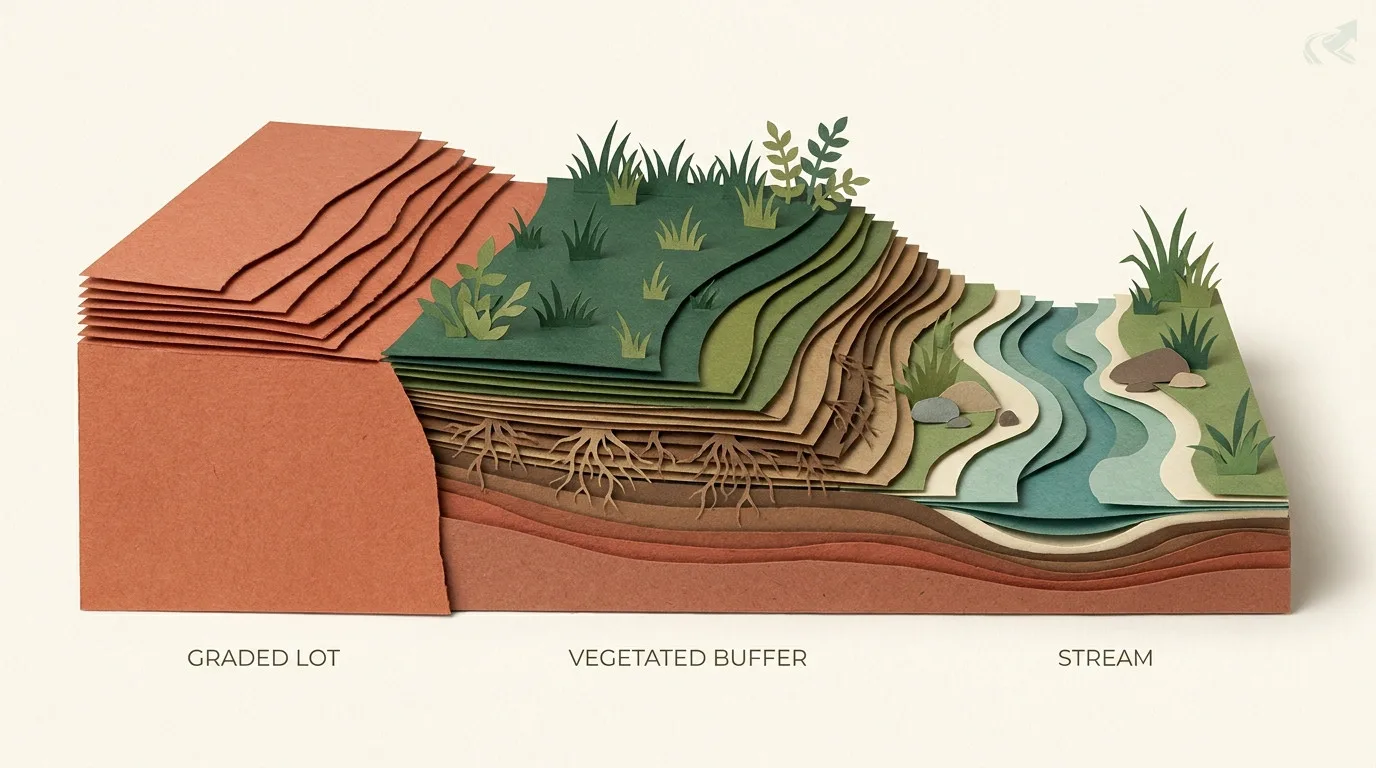
Reservoir buffers are protected no-build zones. Under the Randleman Lake rules, riparian buffers are measured from the water itself — and you need county authorization before building inside a streamside zone.
Soil erodibility can itself trigger a plan. Work on highly erodible soils — a k factor above 0.36 — inside a Watershed Critical Area requires an erosion and sedimentation control plan. Almost nobody expects a soil-survey number to decide their permit.
The watershed rules: where beats how big
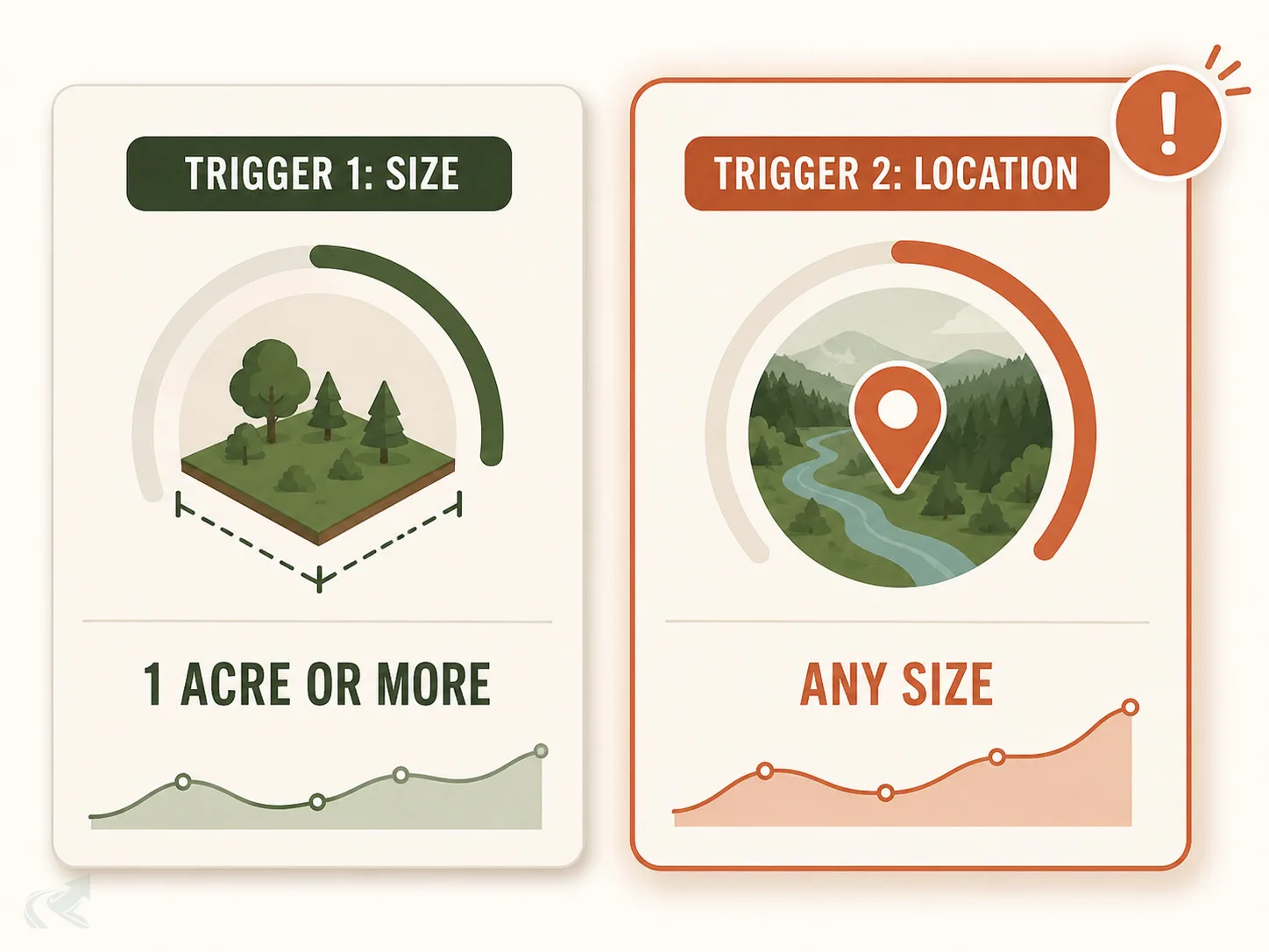
One acre triggers a grading permit anywhere. But inside Tier 1 or Tier 2 of a Watershed Critical Area, so does a small job.
| What sets off a grading permit | Trigger | What it means |
|---|---|---|
| 1 acre or more of disturbance | The size trigger | Includes non-contiguous work in a larger common plan |
| Inside Tier 1 or Tier 2 of a Watershed Critical Area | The location trigger — size is irrelevant | Four tiers, set by distance from the reservoir's normal pool elevation |
| Lot inside a subdivision | Common plan of development | Requirements apply through the subdivision, whatever your own acreage |
| Highly erodible soil in a WCA | k factor above 0.36 | A soil-science trigger, not an acreage one |
1 acre or more of disturbance
- Trigger
- The size trigger
- What it means
- Includes non-contiguous work in a larger common plan
Inside Tier 1 or Tier 2 of a Watershed Critical Area
- Trigger
- The location trigger — size is irrelevant
- What it means
- Four tiers, set by distance from the reservoir's normal pool elevation
Lot inside a subdivision
- Trigger
- Common plan of development
- What it means
- Requirements apply through the subdivision, whatever your own acreage
Highly erodible soil in a WCA
- Trigger
- k factor above 0.36
- What it means
- A soil-science trigger, not an acreage one
A is the land closest to a water supply intake or reservoir. Because that’s where contamination does the most damage, the inner tiers are regulated on geography rather than project size.
Precise thresholds, buffer widths, surety amounts, penalties, and contacts are on the Guilford County page. For any other NC county, use the permit lookup tool. Confirm your Watershed Critical Area tier with the county before you break ground — it’s the question most homeowners don’t know to ask.
Every Triad guide, by problem
Start with the problem you actually have.
- Water sits in my yard and won’t drain — Yard drainage in Guilford County · Red clay, explained
- A French drain didn’t work in my clay — French drains in Greensboro · NC clay French drain methodology
- I need a permit — Guilford County · statewide lookup
- My lot backs onto a creek or reservoir — Guilford watershed rules and buffers
- My new build floods and the builder won’t fix it — When the work is done wrong
- I need a contractor now — Verified Triad contractors
For the underlying methods — how grading, drainage, and hauling work statewide — start at drainage, driveways, or hauling and materials.
Cities and counties we cover
Our Triad coverage centres on Guilford County — Greensboro, High Point, Jamestown, Oak Ridge, Summerfield — and extends across Forsyth (Winston-Salem, Kernersville, Clemmons), Alamance (Burlington, Graham, Mebane), Davidson, and Randolph County — home to Asheboro and the Randleman Lake dam itself. All share Piedmont red clay, and much of the region drains to protected water-supply watersheds.
The Triad is also where our verification work started: it carries the deepest bench of licence-checked contractors in the state. If you’re outside Guilford, the soil and drainage guidance here still applies, but confirm permit thresholds and your watershed tier with your own county — the NC permit lookup covers all 100 counties.
From our directory
Verified Triad contractors by city
Every listing is cross-checked against the NC Licensing Board public record before it appears. Pick your city:
Or browse the full NC contractor directory.